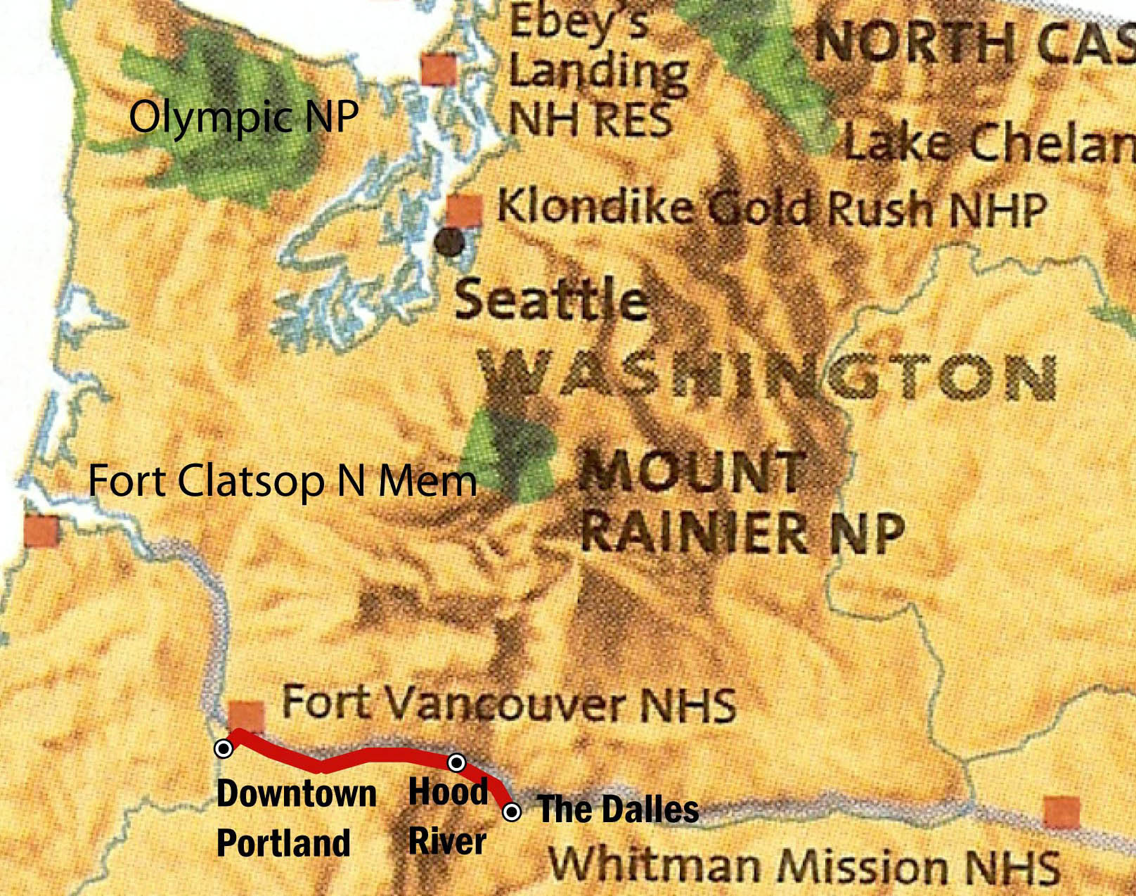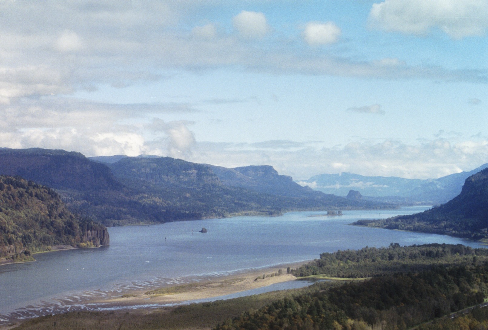

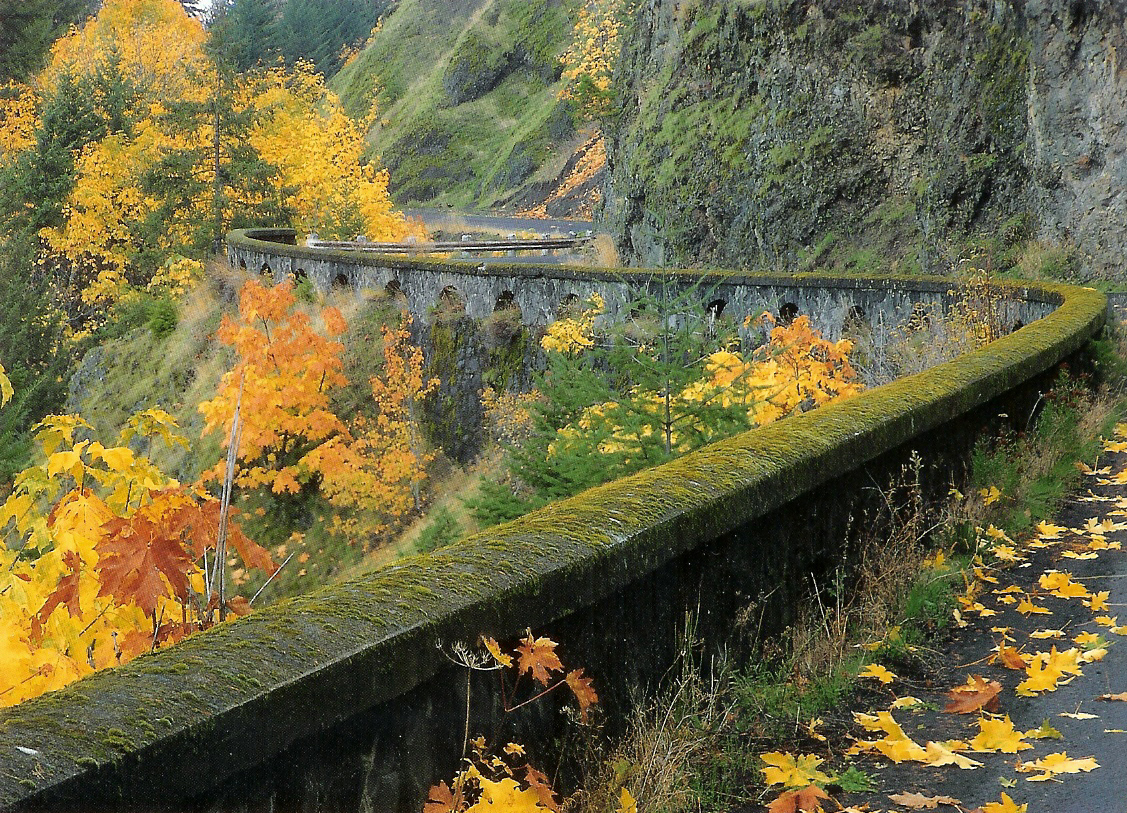
The HCRH starts in Troutdale, 20 miles east of downtown Portland and travels 75 miles through what is now the Columbia River Gorge National Scenic Area. Stone guard walls, white wooden guard rails, arched bridges, and extreme sensitivity to the scenic qualities of the landscape exemplify this road. HRCH reaches from the rainy wet rain forests of western Oregon to the dry wheatlands, fruit orchards, and vineyards of eastern Oregon.
Travel up the Columbia River Gorge has always been difficult. Lewis and Clark faced the challenges of the rapids. In the 1880ís, a river level railroad on the Oregon side improved accesss, but overland travel east from Portland still consisted primarily of a complicated and incomplete network of dirt back roads. The HCRH revolutionized travel in the Gorge.
In the beginning the HCRH was privately planned and funded. Then the counties on the HCRH route were persuaded to take over its construction. The Oregon State Highway Commission, formed by the Oregon state legislature in March 1913, took over the project in 1915.
Itís amazing that one of the first long distance paved road in Oregon was this magnificent highway.
Information from: Discover the Historic Columbia River Highway
Oregon Routes of Exploration , 1991 Historic Preservation League of Oregon
And Oregon Department of Transportation, Historic Columbia River Highway.
Photo scanned from postcard.
Wow. Immediately east of Hood River, the HCRH is now a hiker/biker state park. I'm riding on the original
right of way and highway and there is no car noise. Even the Mosier Tunnels have been reopened.
East of the state park, the HCRH still survives as a local road through
farms and occasional houses. The extensive switchbacks before Rowena mark
the transition from the rich and green landscape westward to dryer land surrounding
The Dalles and east.
Having reached The Dalles, the endpoint of my last bike trip, I turn around and return
to Hood River on the HCRH. I usually donít like to cover the same ground twice, but actually
want to ride this section again.
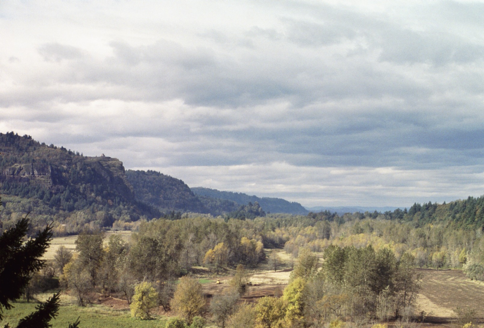
Photo scanned from postcard.
I reach Hood River about 6pm and find out because of a local festival, there are
no hotel rooms in Hood River. I head west out of town to Cascade Locks about sunset.
Though it was a masterpiece, the HCRH couldnít keep up with the demands of faster travel
and bigger vehicles. In the 1950ís construction of a water grade highway began, and
in the 1960ís construction of I-84 began. The narrowness of the Gorge means that these
new highways were built over and destroyed some sections of the HCRH. Hood River to Cascade Locks
is one of these sections.
I have to ride 13 miles on the shoulder of I-84 in the dark. Itís
noisy. Itís just short of starting to drizzle. The highway department has ground rumble strips into
the shoulder to waken drifting drivers.
Some places the shoulder is narrow: the space between the guard rail on the river side
and the rumble strips next to the travel lanes is just barely wide enough to fit my bike and panniers. I have
a few guard rail bump/get pushed onto rumble strip/bounce and wobble incidents
as traffic wizs by. Itís un-nerving.
I finally get to exit off I-84 onto a pleasant local road. I miss a turn into Cascade
Locks and end up in the dark at local park/former gravel pit along the Columbia. A policeman
gives me directions to Cascade Locks.
I check in at the Bridge of the Gods RV Park and Hotel (the hotel part) at 8:30pm, and
wander across the road for dinner. My table has a view of the Bridge of the Gods (built in 1925). It never
did rain this afternoon or evening.
68 miles total today. 28 miles Hood River to The Dalles. 40 miles The Dalles to Cascade Locks.
I slept late this morning, and get a late 8am start. Itís misting, then waivers into cloudines
and gray this morning. Ocassionally some sun shines through.
West of Cascade Locks is a section of the HCRH that isnít open to vehicles, or dead ends
so there is virtually no vehicle traffic. The main street of Cascade Locks runs right into this
section, which is why I felt like I was lost Ė it was too easy. Through cars turn north for
the Interstate. The forest is lush in this section.
Typical landscape halfway between the rainy areas of Portland and the dry areas of The Dalles
After a 4 mile stretch on the I-84 shoulder, the HCRH re-emerges and I follow it all the way to Troutdale.
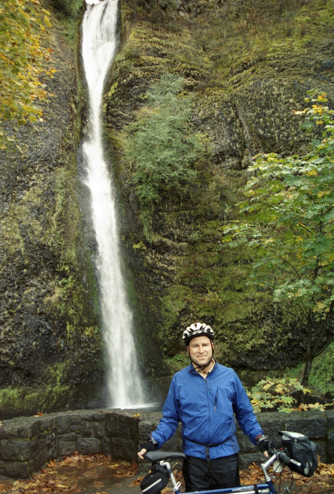
This section features numerous water falls, and typical Pacific Northwest rain forest.
Here's me at one of the first or
western-most falls. Looks like I've been enjoying the local food the last 6 or 8 weeks!
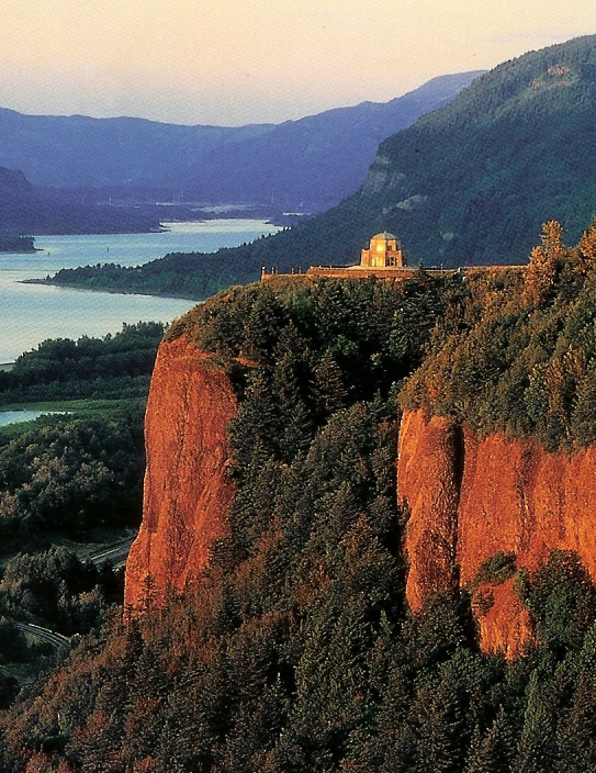
A wooded switchback section leads up the eastern approach to Vista House at Crown Point, an well recognized
symbol of the Columbia River Gorge, and built in connection with the HCRH.
There are some beautiful stretches through the woods and farmland, frequent Columbia River vistas, and some
lightly settled sections of fringe ex-urb. Overall itís a low traffic and beautiful bike route.
From Troutdale to downtown Portland is primarily along a riverside park/levee system. Itís low traffic, but not particularly interesting except for the views of the Columbia River. I think a higher traffic route that would give you a better feel for residential neighborhood development in Portland might be a good alternative.
I pull into my hotel in downtown Portland, happy to have completed
the entire distance from Missoula to Portland this fall.
52 miles today. 92 miles of new miles total on this trip. 120 miles total on this trip.
While in Portland, I visit Fort Vancouver National Historic Site, a Hudson's Bay Company
outpost, long lead by John McLoughlin, who offered assistance and rest for many Oregon Trail pioneers as
they arrived in the Oregon Country after a
long and trying trip west on the Oregon Trail.
I left my bike at Life Cycles - The Dalles to be boxed and sent back to D.C.
Well.
After a week and a half and not receiving my bike, I start making phone
calls. Life Cycles - The Dalles is closing in two days. Everything will be transferred to
Mountain View Cycles in Hood River, which is owned by the same folks. They will box my bike
in Hood River and send it back.
Another week and a half. Still no bike delivered to my house. More calls, more promises, more ďno bikeĒ.
My office is sponsoring a large conference in Portland, Oregon the middle of October.
Iíll just have Mountain View Cycles hold my bike in Hood River. Iíll fly to Portland
for work early and pick my bike up in Hood River. Iíll bike from Hood River back to
The Dalles, and then turn around and bike to Portland. I call Mountain View Cycles. They have
just finished boxing my bike.
They promise to re-assemble my bike and have it ready at noon on October 12th. Yeah, right. I arrive
in Hood River on the 12th at noon. My bike is not assembled. I come back
after lunch. Almost done. Finally, I have my bike back after 36 days, minus a boxing charge.
What would have happened to my bike if I hadnít flown to Portland ? Everyone
was very pleasant, but a little unconcerned, at least from the point of view of a tightly wound east coast urbanite.
Last Update: Jan 7 2007
The Bike Trip
October 12, 2005: East End of the Historic Columbia River Highway
My bus arrives in Hood River from Portland late in the morning of October 12, 2006. I head to Mountain
View Cycles to pick up my bike, which they have had for 36 days, and am surprised to find it has not
been re-assembled and repaired. After lunch and a short additional wait, I head out
east to ride back to The Dalles (where I ended my last trip).
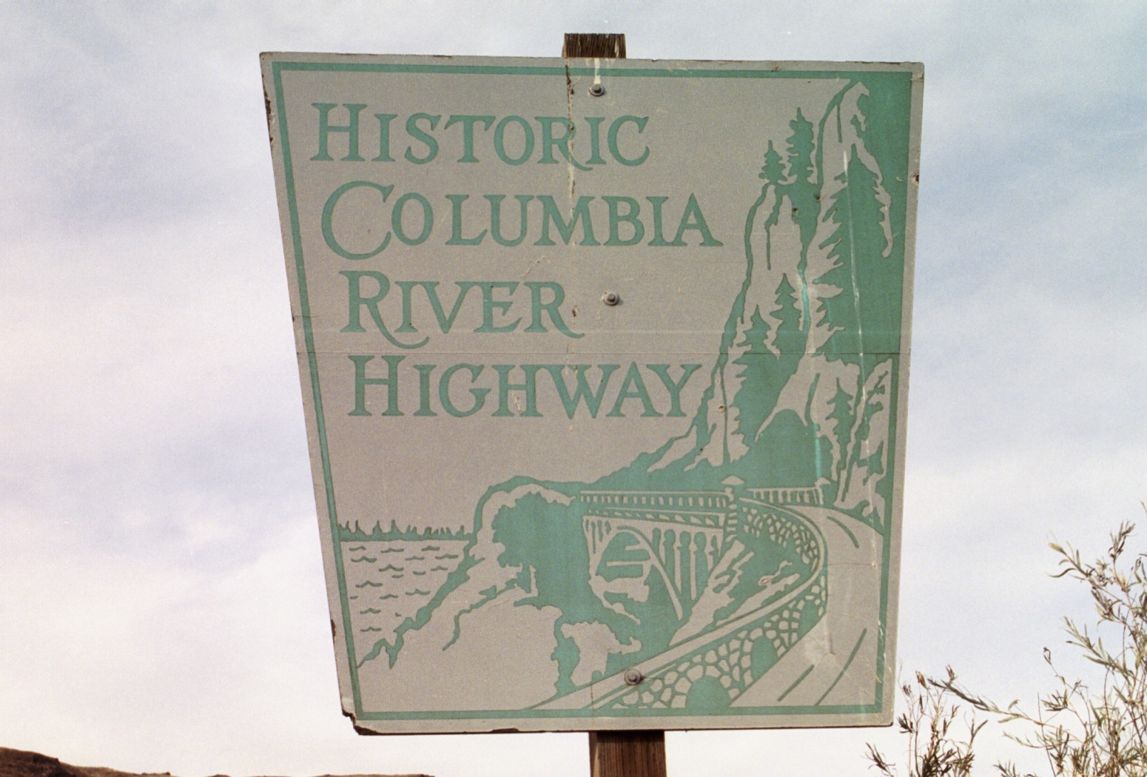

Saturday, October 13, 2006: West End of the Historic Columbia River Highway
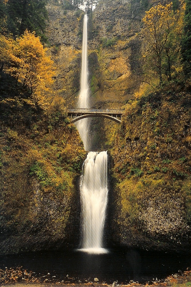 Here is a scan of a postcard of Multnomah Falls
Fort Vancouver

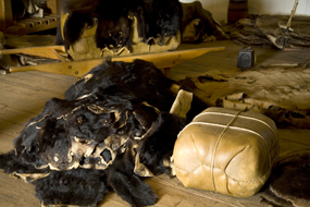
Images from National Park Service
Bike Kidnapping
My back tire gave out and went absolutely flat inside the Life Cycles bike shop in The Dalles, late on
the afternoon of September 6, 2005. That was the fortuitous ending to my Missoula, Montana/The Dalles, Oregon trip.
